
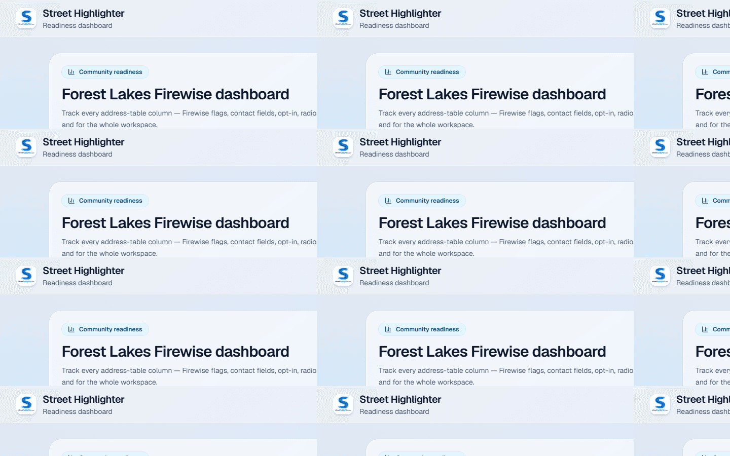
Progress per parcel, rolled up by group
Track volunteers, leads, custom checklist fields, and wildfire readiness flags. See what’s complete by POD—or whatever label your community uses.
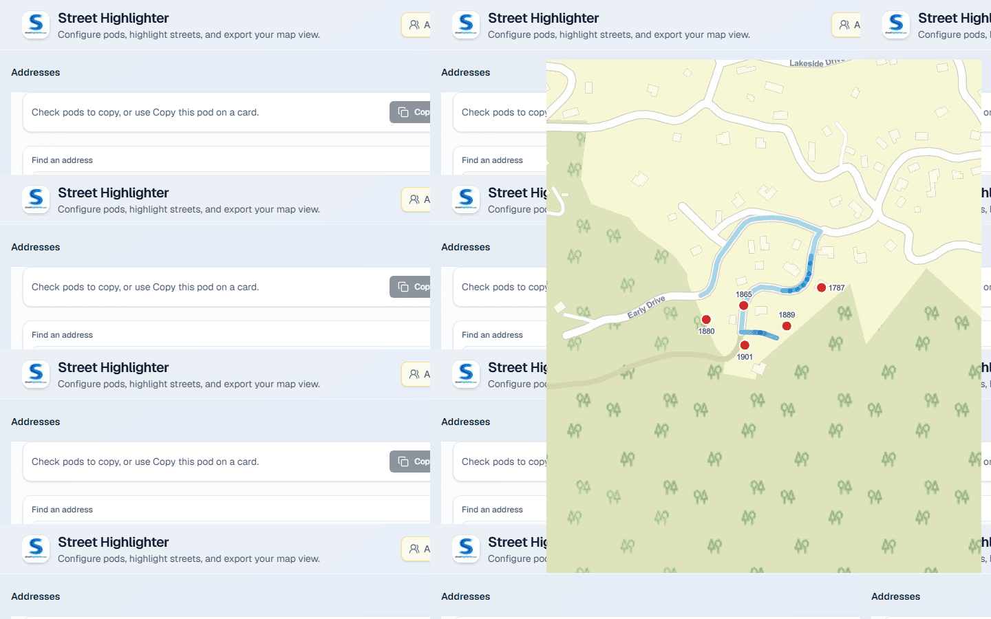
Street Highlighter
For Firewise groups, HOAs, real estate teams, and any crew that tracks work, leads, volunteers, or progress one address at a time.
Spreadsheets lose the map. Generic CRMs forget the lot lines. Street Highlighter keeps every address on a shared map with the people, leads, volunteers, and progress fields your group actually uses.
Organize homes into PODs, track Zone zero and hardening, map Firewise parcels, and plan evacuation routes.
Manage parcels by board district or street group, assign leads, track volunteer workdays, and see completion on a dashboard.
Keep listing or portfolio parcels on one map with contacts, notes, custom fields, and street/parcel highlights for walkthroughs.
If you manage work, leads, volunteers, or progress one address at a time—import the list, map it, and measure what’s done.
Neighbors who prepare together improve the odds—before a siren. Map exposure, track Zone zero and hardening, plan exits, and keep contacts private inside the community.
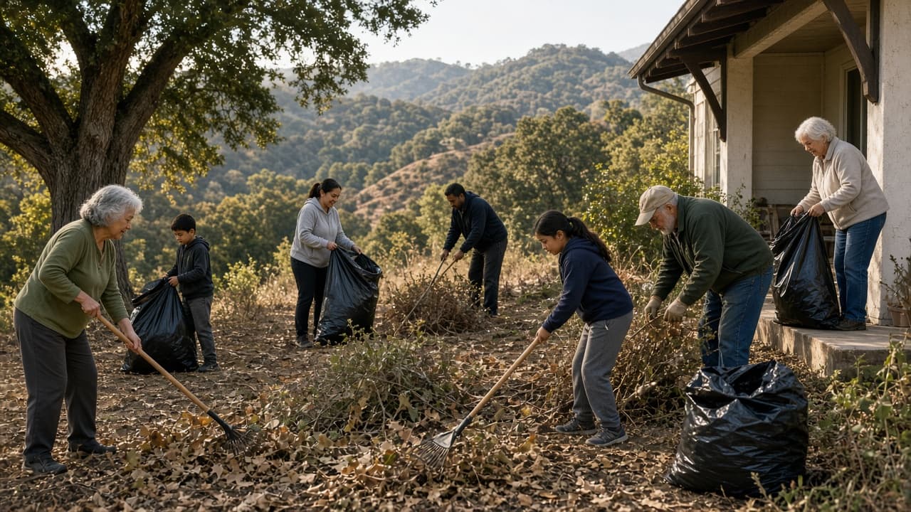
The first five feet around a home is where embers and small ignitions do outsized damage. Track Zone zero completion in Street Highlighter, then use neighborhood workdays to clear the noncombustible perimeter—and keep score on the dashboard.
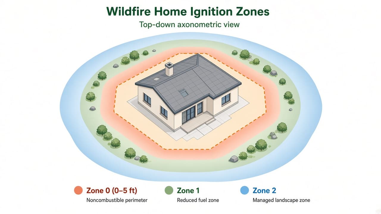
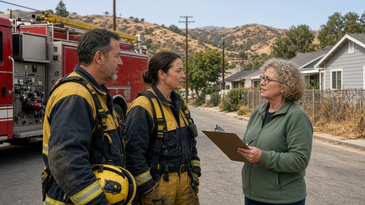
Import addresses, assign leads, track per-parcel progress, and put the whole list on a map. For wildfire groups we also support Firewise layers and evacuation planning—without replacing firefighters or official alerts.
Cluster addresses into PODs—or rename them zones, blocks, routes, or districts—so leads and volunteers own clear turf.
Store owners, residents, leads, and assistance needs inside a signed-in community. Public share links never expose names, emails, or phones.
Record volunteers, Green signs, Zone zero, custom yes/no and text fields, and whatever checklist your HOA or Firewise site needs.
Put outreach and mitigation on one map: street highlights, parcel outlines, Firewise communities, wildfire risk, and fire districts.
Save named views and export PNG/PDF for board meetings, real-estate packets, or Firewise renewal—without publishing private contacts.
Connect DialMyCalls to text residents who opted in. Useful for workday reminders or check-ins; not a substitute for official alerts.
Dashboards for per-parcel progress, Firewise and parcel map layers, satellite address pins, and street highlights for any neighborhood crew.
Track volunteers, leads, custom checklist fields, and wildfire readiness flags. See what’s complete by POD—or whatever label your community uses.
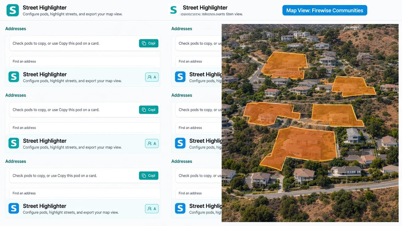
Switch Map View for Firewise communities, lot outlines, wildfire risk, and more—so assessment and outreach share the same picture.
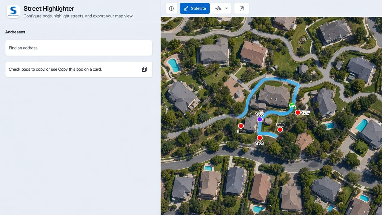
Confirm who lives where before a workday, open house route, or board walkthrough—address dots on aerial imagery.
Highlight streets and parcels so your team sees coverage across the neighborhood—not isolated rows in a table.
Start free with one community and a handful of addresses. Import the list, assign leads, track progress, and share a map your board, buyers, or Firewise team can actually use.